

Project
The Southern Andes
Natural Laboratory of Chile
The Southern Andes Natural Laboratory of Chile (LNADS), funded by the National Agency for Research and Development (ANID), is a scientific-territorial node that connects research, technology, and collaboration to address the challenges of the mountains of southern Chile. We work alongside universities, public institutions, communities, and strategic actors from the mountain territories of the southern macrozone, promoting applied research and tools such as the Atlas of the Southern Andes and “Conversation with the Andes.”.
Our work provides information and capabilities for the sustainable management of the territory, supporting decision-making in issues such as climate change, natural risk management and territorial resilience, water security and governance of Andean basins, biodiversity, conservation and restoration of biocultural heritage, and sustainable territorial-local development.
We have already released our first book:
The Southern Andes Natural Laboratory of Chile: A mountain region of global scientific importance
A publication that highlights the Southern Andes as a key territory for understanding the environmental, climatic, and social challenges of our time. Through its pages, you will discover the natural, cultural, and scientific wealth that makes these mountains a unique natural laboratory worldwide.
Aurora Australis: Transformations, vivid and sensory relief of the Southern Andes
A visual, immersive, interactive and sensory experience that invites you to explore the transformations of the mountain territories of southern Chile in the face of climate change and the Police crisis. Through 3D models, projections, cartography, sounds and interactive modules, visitors can discover data and research from the Natural Andes del Sur Laboratory, learn how our landscapes have changed and explore phenomena related to native forests, land use and the transformation of the territory.
64% of the country is mountainous

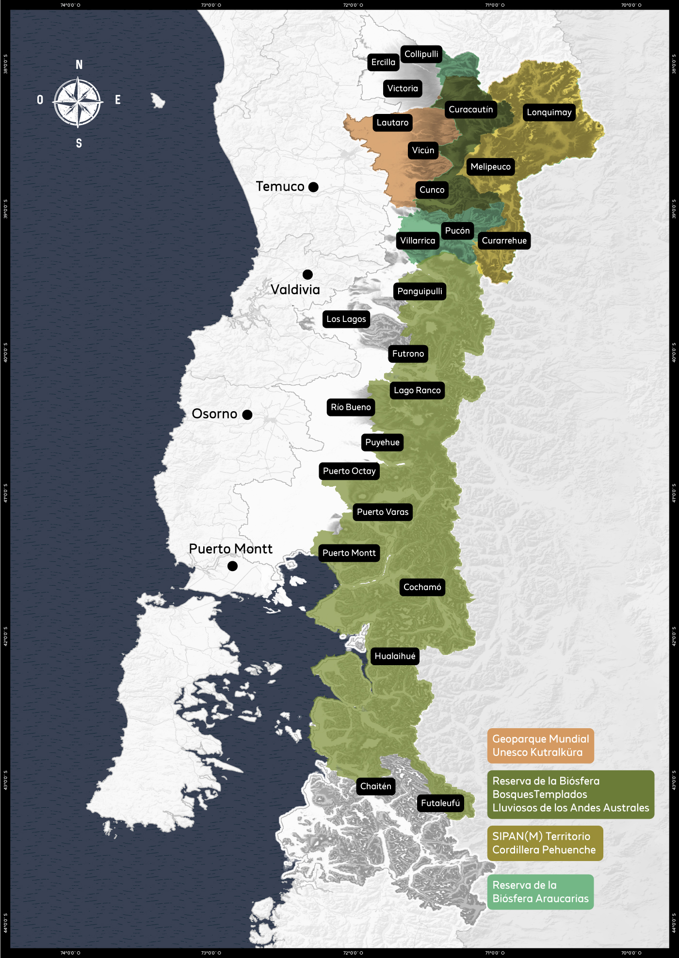
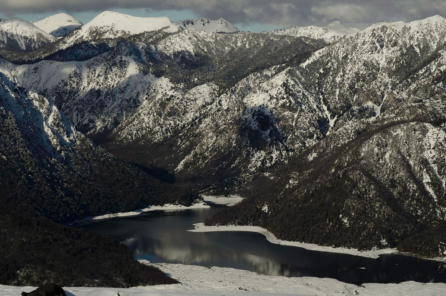
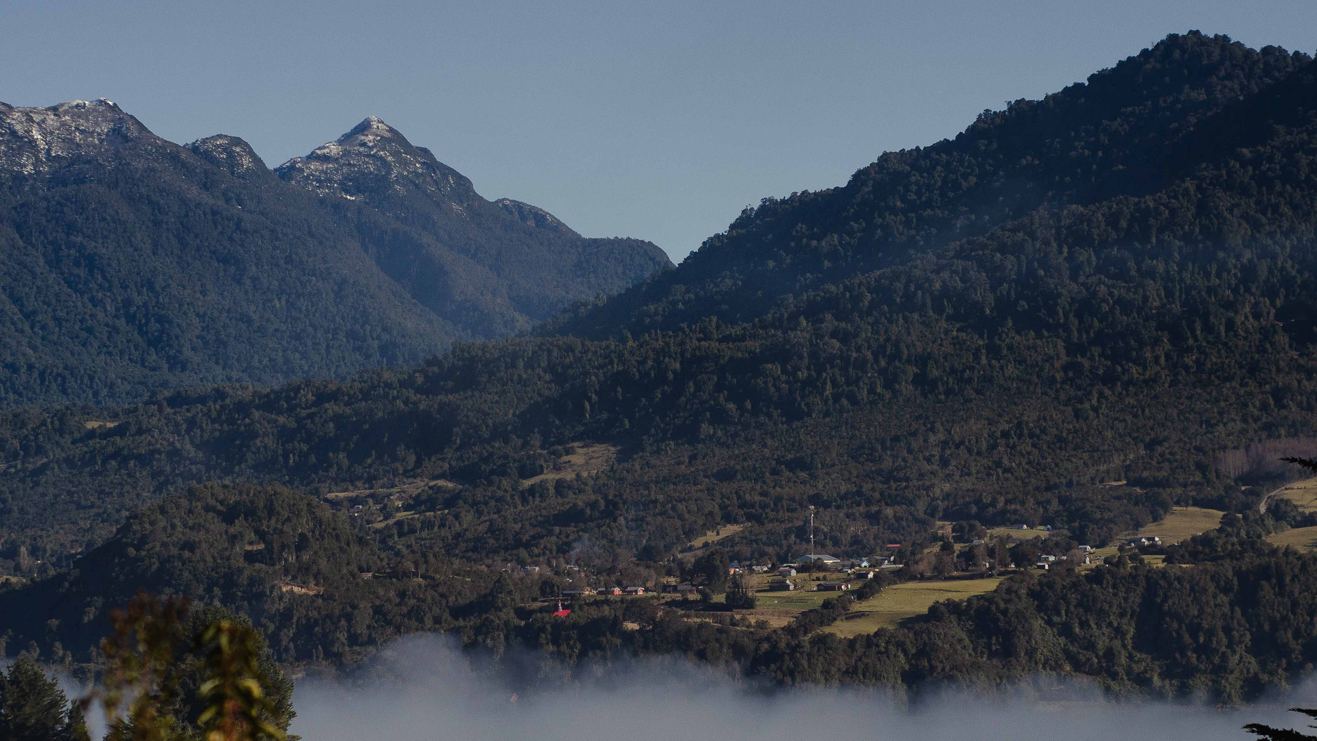
The Southern Andes Natural Laboratory is the territory that extends between 38°- 44° south latitude in the mountains of the regions of La Araucanía, Los Ríos and Los Lagos, reaching an area of 52,891 km2.
It is composed of 28 mountain-based communes: Collipulli, Ercilla, Victoria, Lautaro, Curacautín, Lonquimay, Melipeuco, Vilcún, Cunco, Villarrica, Pucón, Curarrehue, Panguipulli, Los Lagos, Rio Bueno, Futrono, Lago Ranco, Puyehue, Frutillar, Llanquihue, Puerto Octay, Puerto Montt, Puerto Varas, Cochamó, Chaitén, Hualaihue, Futaleufú and Palena, where they live 832,000 people distributed in more than 40 villages.
It is characterized by its high rurality, which reaches the 51,5% of its total population, and it presents a strong representation of indigenous population, corresponding to 26,7% of its inhabitants.
Present international declarations

UNESCO Global Geopark Kütralkura
Year of declaration: 2019
Surface: 12,078 km2, Region of Araucanía
Communes: Curacautín, Vilcún, Lonquimay, Melipeuco, Lautaro, Cunco, Curarrehue.

Araucarias Biosphere Reserve
Year of declaration: 1983
Surface: 11,428.5 km2, Araucanía Region
Communes: Collipulli, Loquimay, Curacautín, Melipeuco, Vilcún, Cunco, Villarrica, Pucón, Curarrehue

Biosphere Reserve Temperate Rain Forests of the Southern Andes
Year of declaration: 2007
Surface: 21,689.5 km2, Rio and Lake Region
Communes: Panquipulli, Los Lagos, Futrono, Río Bueno, Lago Ranco, Puyehue, Puerto Octay, Puerto Varas, Puerto Montt, Chaitén, Hualaihué, Cochamó, Futaleufú

SIPAM Territorio Cordillera Pehuenche
SIPAM Ancestral System of the Pehuenche Mountain Range: biodiverse orchards, gathering and transhumance in the Ngulumapu territory.
Year of declaration: 2025
Surface: 8.302,34 km2, Bio Bio Region and Araucanía Region
Communes: Alto Bío Bío, Lonquimay, Melipeuco, Curarrehue.
The Southern Andes Natural Laboratory of Chile: A privileged setting for the study of natural processes and cultural
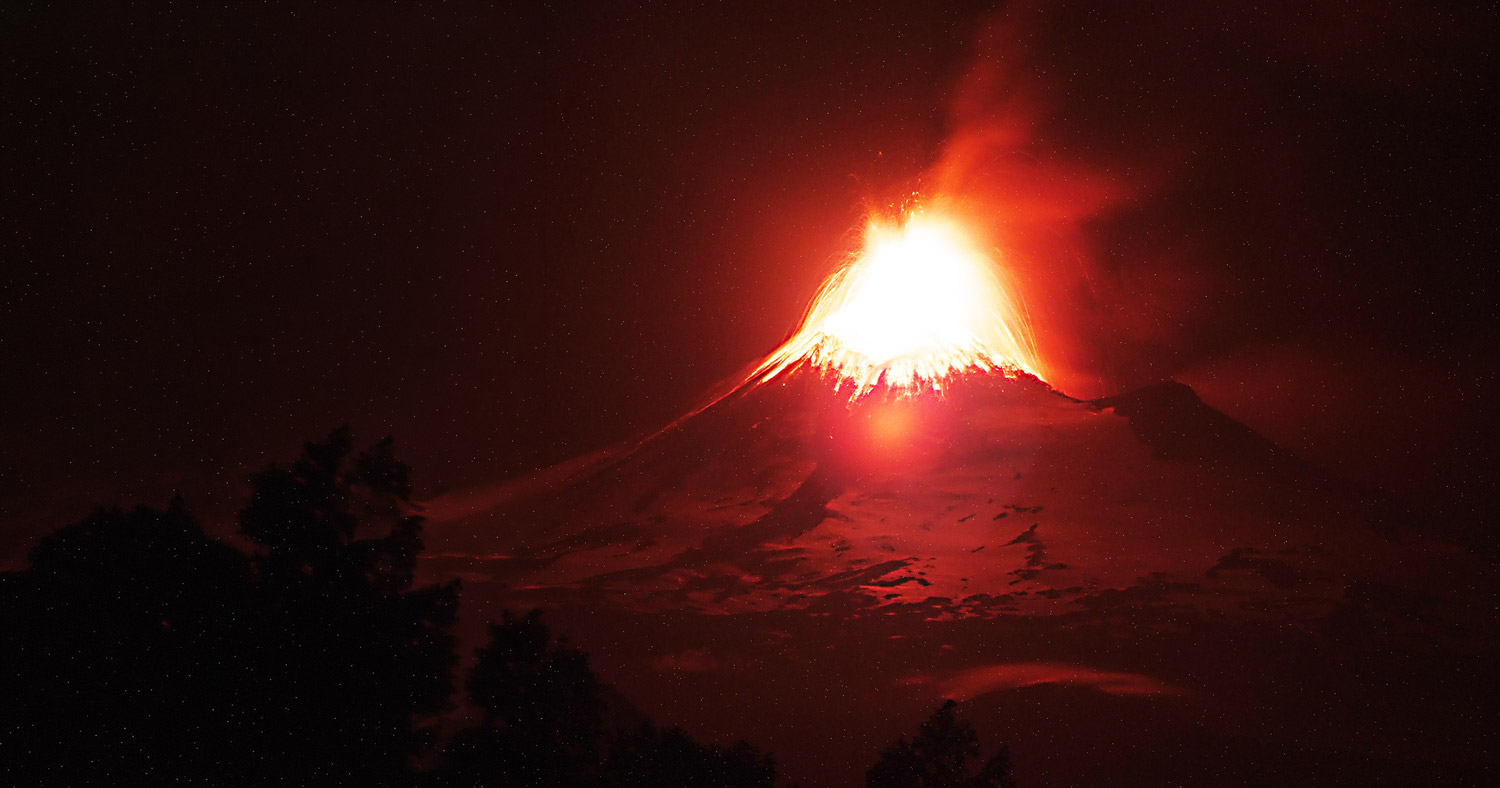
Active Volcanic Arc
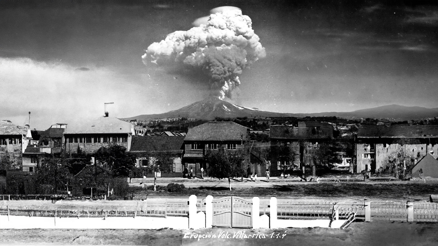
They exist 27 of the 92 active volcanoes According to the specific risk ranking of active volcanoes in the national territory, which have been intensively studied due to their most recent eruptions: Villarrica (2015), Llaima (2007-2009), Calbuco (2015), Puyehue-Cordón Caulle (1960, 2011), Osorno (1835), Mocho-Choshuenco (1864), Carrán-Los Venados (1979), Chaitén (2008) and Lonquimay (1988-1989).
Liquiñe-Ofqui Fault System
In this area, the main fault zone called the Liquiñe-Ofqui Fault System (SFLO) stands out, which has an extension of more than 1,200 km. A geological fault is a fracture in the Earth's crust through which there are relative movements of rock blocks. The location of the active volcanic arc in this area is controlled by the SFLO.
Territory of Disasters
There is a diversity of geological hazards such as earthquakes, volcanic eruptions and/or processes of mass displacement These natural phenomena pose a threat to practically the entire Chilean territory. Some of these natural events have caused catastrophic effects that have impacted the Southern Andes of Chile.
Fertile soils of volcanic origin
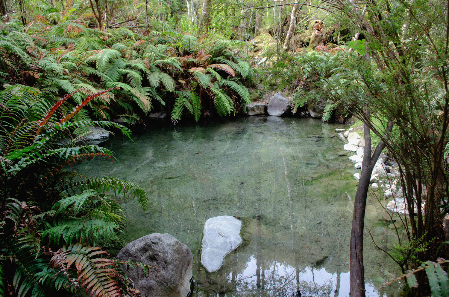
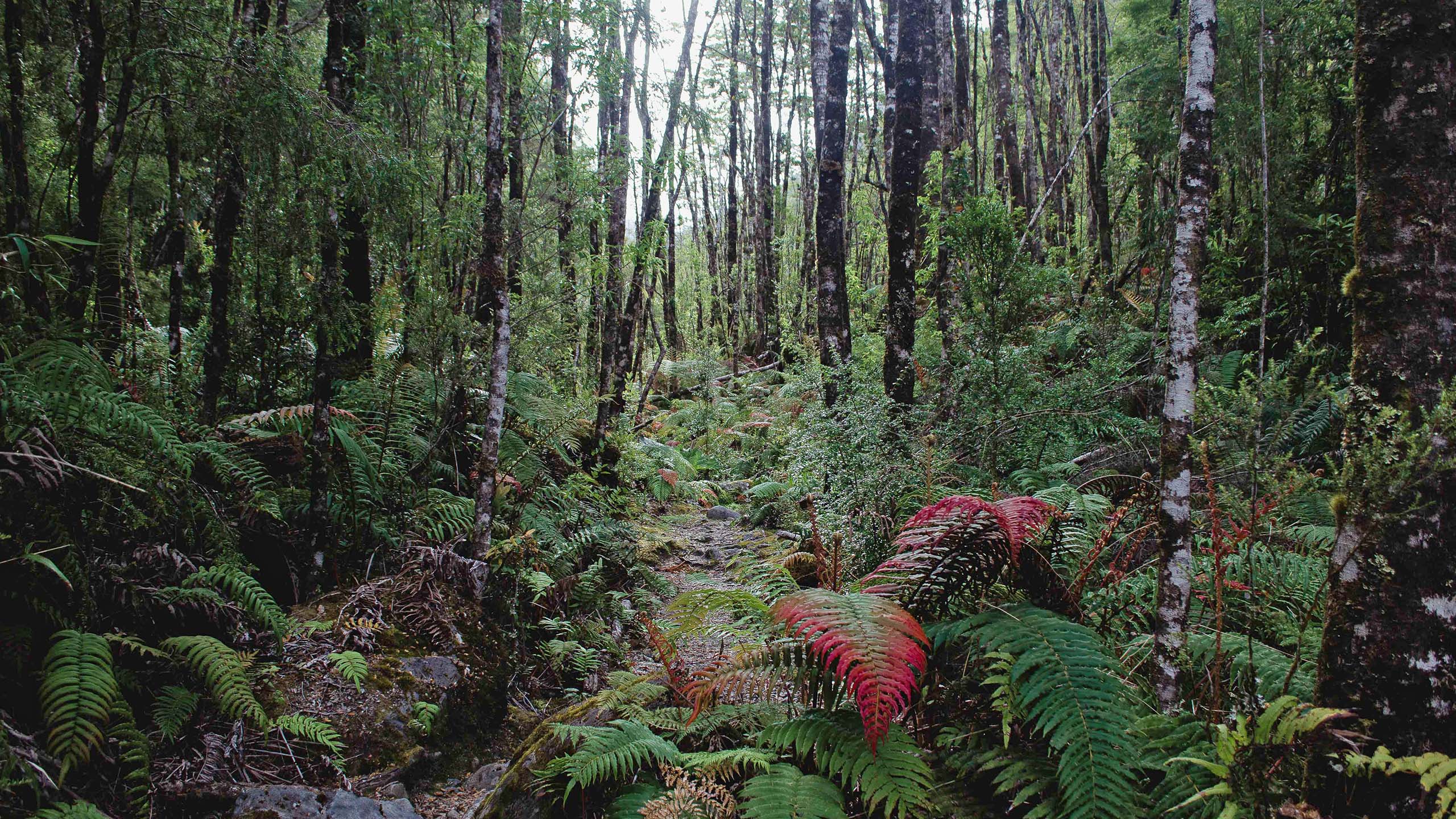
Due to the active volcanic arc, the soils of the Southern Andes are characterized by potential fertility gradients, in addition to having a high diversity of plants, lichens and mosses, transforming it into one of the components of ecosystems that contribute most to the stability of the health and quality of biodiversity within and on it.
Main reserves of fresh water
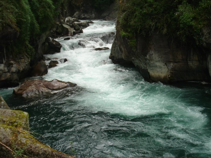
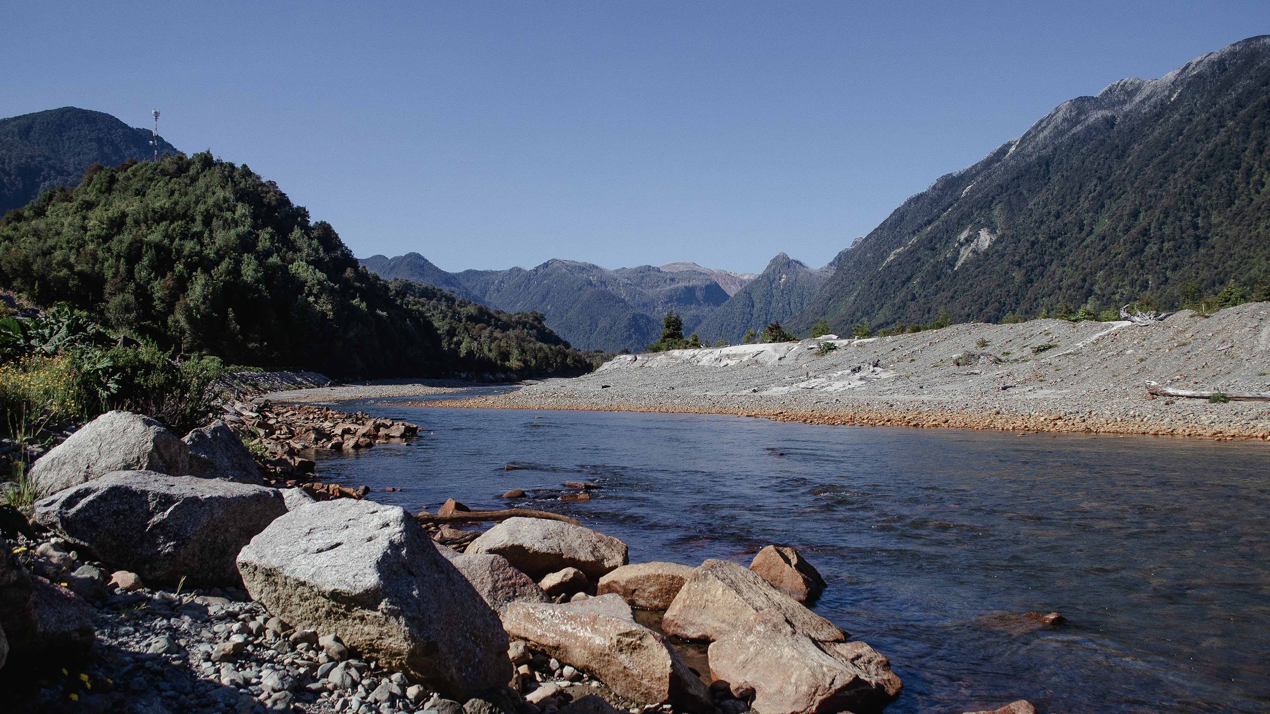
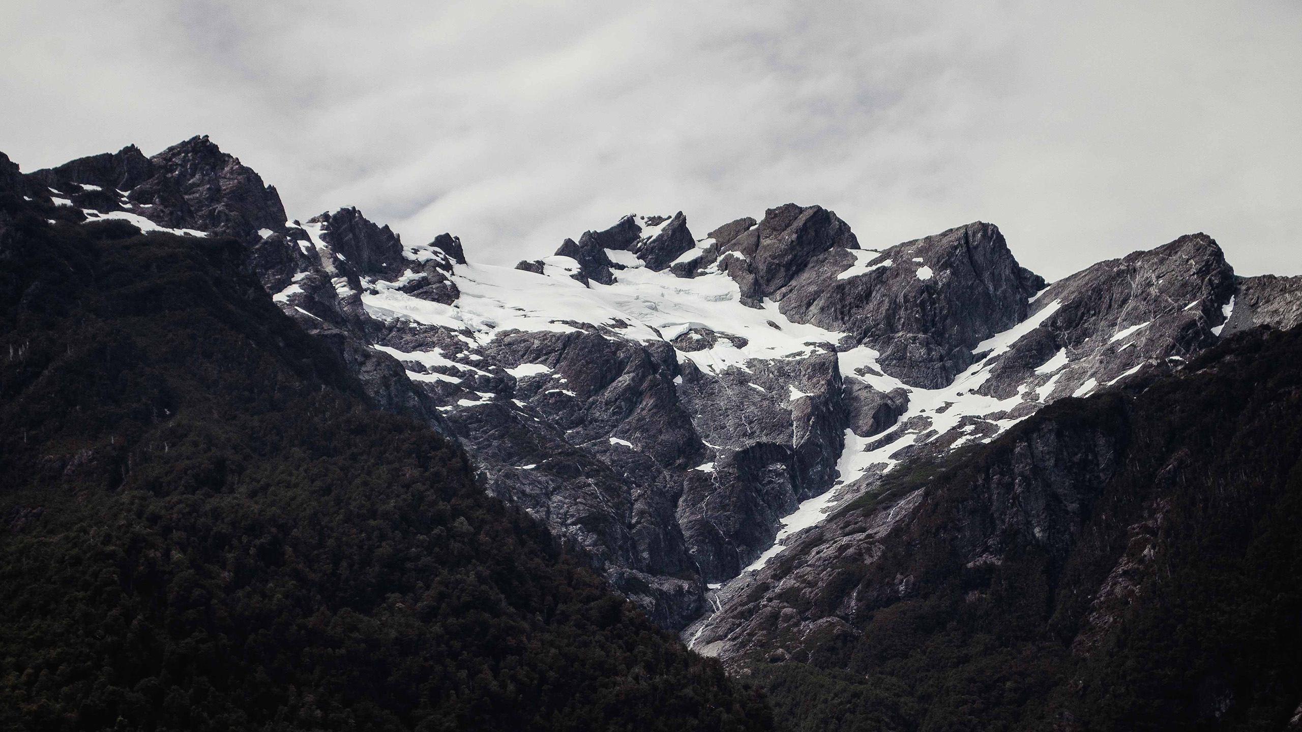
When thinking about the Cordillera de Los Andes, it is important to highlight its role as water tower where they are born Glaciers are the main reservoirs of fresh water. Considering its geological history and melting processes, it forms the northern Patagonian lakes. These waterways are the main sources of the rivers that flow into the intermediate depressions.
Andean Refuge: history, villages and landscape
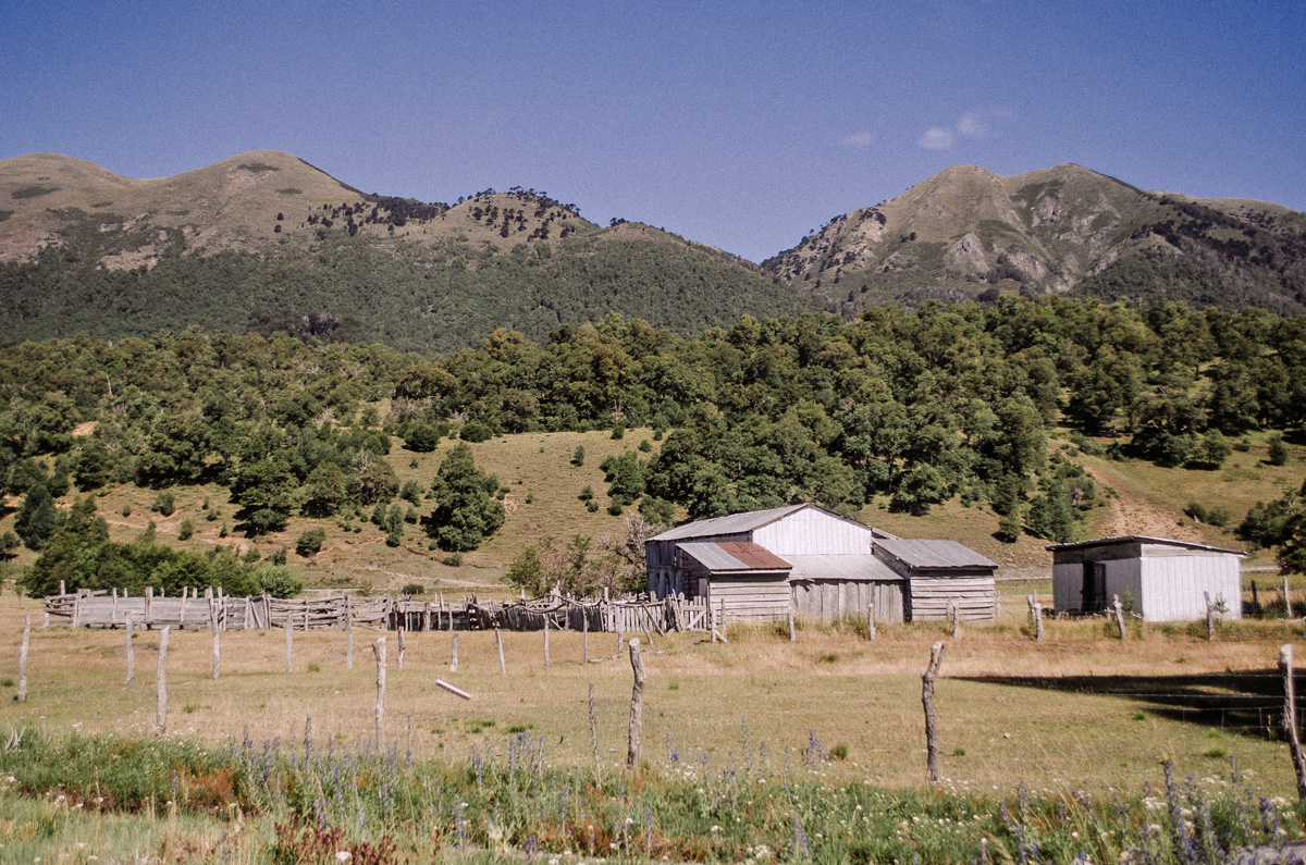
For thousands of years, the mountains have been inhabited and traversed by communities which have developed life forms closely linked to the territory. The Southern Andes preserve a valuable diversity of knowledge, cultural practices, and biocultural landscapes that enrich our understanding of the relationships between society and nature.
Mosaic of economies and mountain conservation approaches
The mountain range is also a space where multiple interests associated with the environment converge. production, tourism, conservation and the well-being of local communities. Understanding these dynamics is fundamental to advancing towards development models that integrate sustainability, territorial governance, and the protection of mountain ecosystems.